- TRIP #: B040811
- DATE: August 11, 2004
- WEATHER: Sunny, approx 22C
- TIME:
- Start: 10:00
- Finish 13:00 approx
- LOCATION:
- Start: Outside Lions Camp, along the Squamish River (Government Road), BC
- Mid-point: Tenderfoot Creek Fish Hatchery
- Finish: Outside Lions Camp, along the Squamish River (Government Road), BC
- DISTANCE: xx kilometers
After leaving home, I had a 45 minute drive ahead of me to get to Squamish. I planned to park in the small parking lot across from eagle viewing shelter on the Squamish River dike. When I left home, I knew where I'd park, but I hadn't yet decided where the bike trip would take me from there. One option was to pedal up the Squamish River valley which we'd driven along a few years earlier. I recalled it was extremely flat for a very long distance. Another option was the take a trip along Paradise Valley to the fish hatchery. For reasons unknown to me, by the time I had parked, I'd decided on the latter.
The Squamish area is renowned for the large number of bald eagles, largest of the raptors, that live there. The population of bald eagles in this area can be viewed anywhere from the Tenderfoot Creek Fish Hatchery (my ultimate destination) in the Cheakamus Valley down to the Squamish River estuary near downtown Squamish. Approximately 2,000 eagles make the Brackendale Eagle Reserve their winter home. They are attracted by dying chum salmon making their way from the Pacific, via Howe Sound, up the Squamish River system; the Squamish, Cheakamus and Mamquam rivers.
Brackendale - winter home of the bald eagle (community just north of Squamish)
Each eagle can eat about 500 grams of fish per day. So, at more than 2,000 eagles, that's a 1 tonne buffet of salmon the rivers are serving up every day.
The most popular place for spotting the eagles (not as though "spotting" is difficult with around 2,000 of them flying about) is the Eagle Viewing Dike across from the Lions Easter Seal Camp between Squamish and Brackendale. This is where I parked the van and began my trip.
To get to the Eagle Viewing Dike:
Continue past the Highway 99 (the Whistler highway) turn-off to downtown Squamish until you come to Garibaldi Way (the second set of traffic lights)
Turn left at this intersection (Garibaldi Way & Highway 99)
Drive for about one block and turn right on Government Road
Follow Government Road for about 0.5 mile
The Lions Easter Seal Camp is on the right
The dike (and Squamish River) and the eagle viewing shelter are to the left-->
My next stop, after following the dike for a bit, was Brackendale, home of the annual Eagle Festival which is centered around the Brackendale Art gallery. Thor Froslev who, along with his wife Dorte, runs the art gallery and tea house (and chapel, and theater) is the "birdman" of Brackendal. Look out for the large Unicorn out front: that's the Brackendale Art Gallery. After I paused for some photos, I continued up the road.
One of the nice parts of the bike ride to the Tendefoot Creek hatchery is the paved road through immense shade trees. And, while paved, there was very little vehicular traffic on this road. On this particular day, the shade was most welcome.
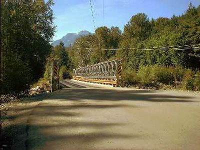
Eventually, the road past the Squamish Airport and a sawmill took me to the bridge across the Cheakamus River.
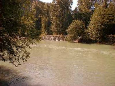
Water levels in the Cheakamus are controlled by a BC Hydro dam located upstream on Daisy Lake near Whistler.
A great place to view eagles along the Squamish River dike road.

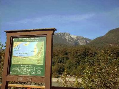
This is were I start my trip - on the dike road.

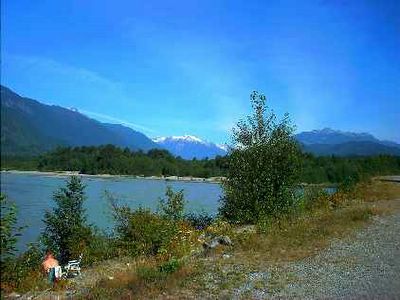
The Squamish River dike road.


Eagle Headquarters: the art gallery in Brackendale.

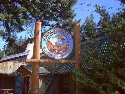 -
-World Eagle Capital.

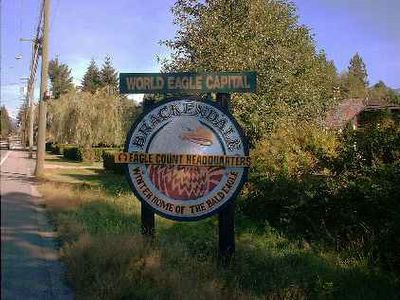
Welcome to...


Trust me! There's a deer straight ahead.

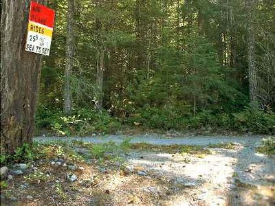
Start of a very pleasant ride up Paradise Valley.

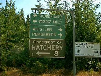
Which way shall I go? Which way...? Paradise Valley and the hatchery!

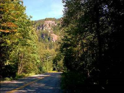
Quiet, paved road heading up Paradise Valley (almost no traffic and very flat).

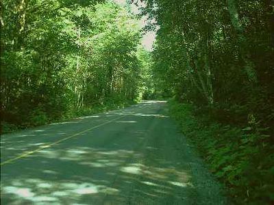 -->
-->Quiet, paved road heading up Paradise Valley (almost no traffic and very flat).

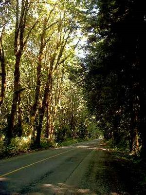
The Cheakamus River.

The Cheakamus River bridge.

The Cheakamus River.

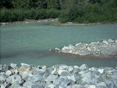
Tenderfoot Creek Fish Hatchery.

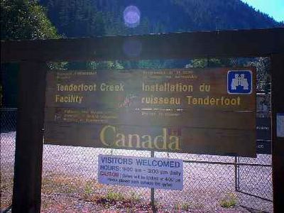
Tenderfoot Creek Fish Hatchery.

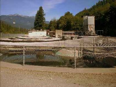
Too interesting not to capture.

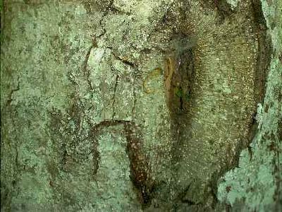
Cedar bark. This wouldn't be the West Coast if it didn't have cedar.

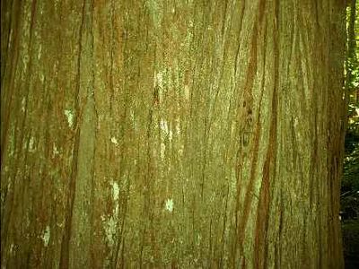
An "essential" West Coast pic.

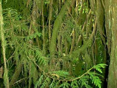
That WEsT COAST mossy thing. Does it rain here? Duh!


No comments:
Post a Comment